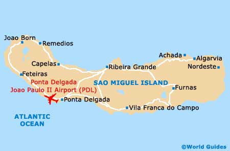
Ponta Delgada Joao Paulo II Airport (PDL)
Orientation and Maps
(Ponta Delgada, Portugal)
Part of the Azores islands, which lie off the western coast of Portugal, Ponta Delgada is a large town on the island of Sao Miguel. With a population of around 65,000 inhabitants and more than 20 different parishes, the city of Ponta Delgada is the premier tourist destination of the Azores.
Most people visiting Ponta Delgada either arrive by ferry or fly into Joao Paulo II Airport (PDL), which is located to the west of the city, The airport is the biggest and busiest in the whole of the Azores, regularly serving around one million passengers annually, being operated by the ANA Aeroportos de Portugal.
Ponta Delgada Joao Paulo II Airport (PDL) Maps: Important City Districts
The main parishes of Ponta Delgada include Arrifes - with a population of around 7,000 inhabitants, Capelas - with around 4,000 inhabitants, and Faja de Baixo - home to around 4,500 locals. Sao José is one of the largest parishes, with almost 9,000 residents, while Sao Pedro has a population of just over 7,000 and contains a busy port and the campus of the University of the Azores (Universidade dos Açores).
Many impressive monuments and museums are located all around the city of Ponta Delgada, with countless historic streets linking the main points of interest. With marinas, old churches, local restaurants and a scenic mountain range to the north-west, many visitors to Ponta Delgada enjoy strolling along the coastal Infante Dom Henrique Avenue promenade, which is known for its memorable views.
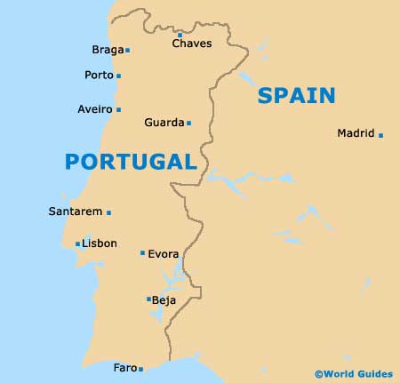
Portugal Map
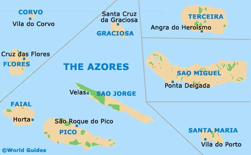
Azores Map
Sao Miguel Island Map